By Lottie Adams, Third year Neuroscience
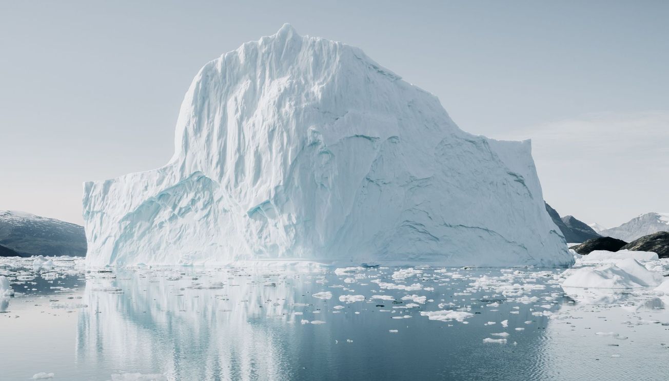
University of Bristol researchers, in conjunction with UiT (The Arctic University of Norway), have developed a method of monitoring sea ice that combines existing satellite technology with artificial intelligence to allow for unprecedented year round monitoring of ice thickness and spread.
“The Arctic ice is melting faster than ever. We need knowledge about the thickness of the sea ice, both to reduce safety risks for businesses and shipping in the Arctic, but also to make forecasts for the future climate”, informed Dr Jack Landy, the lead author, based at UiT and formerly Bristol.
The article, published in Nature last month, is the first time scientists have been able to report data about the spread of sea ice across the entire Arctic year-round. This has profound implications for both improvements of safety for ships travelling within the region and measurements of ice retreat in the context of climate change.
Arctic sea ice melting faster than forecast https://t.co/xH6LFTCoHL pic.twitter.com/8w5s1z5Fon
— CTV News (@CTVNews) August 18, 2020
Before this use of AI, satellites used to measure sea ice could not function in the summer season. Dr Landy cites the cause of this as ‘In the summer months the satellites are dazzled by ponds of snow and ice meltwater that pool on the sea ice surface.’
When developing this technology, researchers compared previous satellite images with ice spread data from radar echo response. The AI used this comparison to identify unique characteristics of meltwater and seawater, meaning real time satellite images can be analysed in the same way in order to forecast ice spread up to 310 days in advance. They have developed another similar programme which measures the thickness and height of the ice, meaning ships travelling through the area can assess whether they can break through.
‘Using the new satellite data, we are finally able to make sea ice forecasts informed by the ice thickness, not only for the winter, but also for the summer. This will reduce safety risks for ships and fishing boats’ announced Dr Landy. ‘We can also predict whether there will be ice or not at a given location in September, by measuring the ice thickness in May.’
As ice recedes in the summer months, shipping in the area will increase and this technology will become increasingly essential, especially as the region becomes busier and ships need to accurately plot their course to avoid the risk of collisions.
Featured image: Unsplash / Annie Spratt


