By Katherine Skipper, PhD, Physics
A ground-breaking new theory of erosion from Bristol University researchers predicts that rainfall can trigger the growth of mountains, as well as wear them down.
The team, led by Dr Byron Adams from the Cabot Institute for the Environment, worked in collaboration with researchers at Arizona and Louisiana State Universities, to perform a large-scale analysis of erosion and rainfall data.
They showed that whilst the relationship between these factors is complex, they can be linked by a single model, which they hope can be used to solve a long-standing mystery in science: how erosion on the surface of a rockface can influence tectonic activity deep below the surface.

The idea that erosion can cause mountains to grow rather than shrink is counterintuitive but founded on longstanding geological principles.
When an eroded landscape is compressed by tectonic plates, it compensates for the erosion by crumpling upwards instead of sliding across the rock below. This ‘tectonic uplift’ is a rapid and powerful effect, and modelling it is key to the study of tectonic landscapes.
The researchers hypothesised that the leading model of erosion called the ‘stream power theory’, which assumes that the effect of rainfall is negligible, is insufficient to describe tectonic landscapes.
On the other hand, models which do account for climate tend to be based on data from a single region, where outside of which they are no longer useful. The researchers believed that by using data from a large but geologically uniform region, climatic effects could be incorporated into the stream power theory, leading to an accurate model of rainfall induced rock uplift.

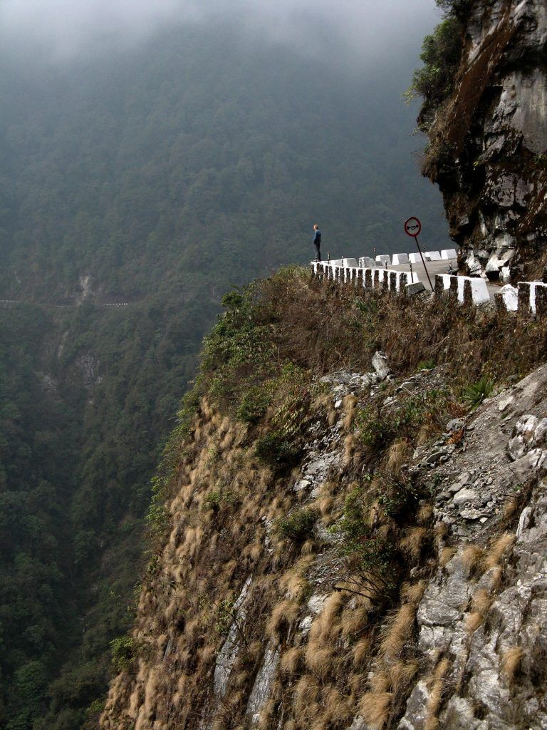
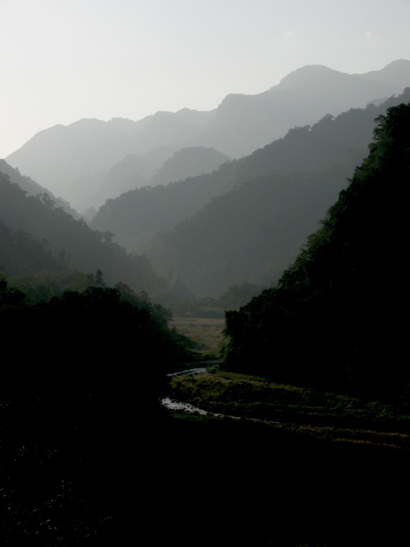
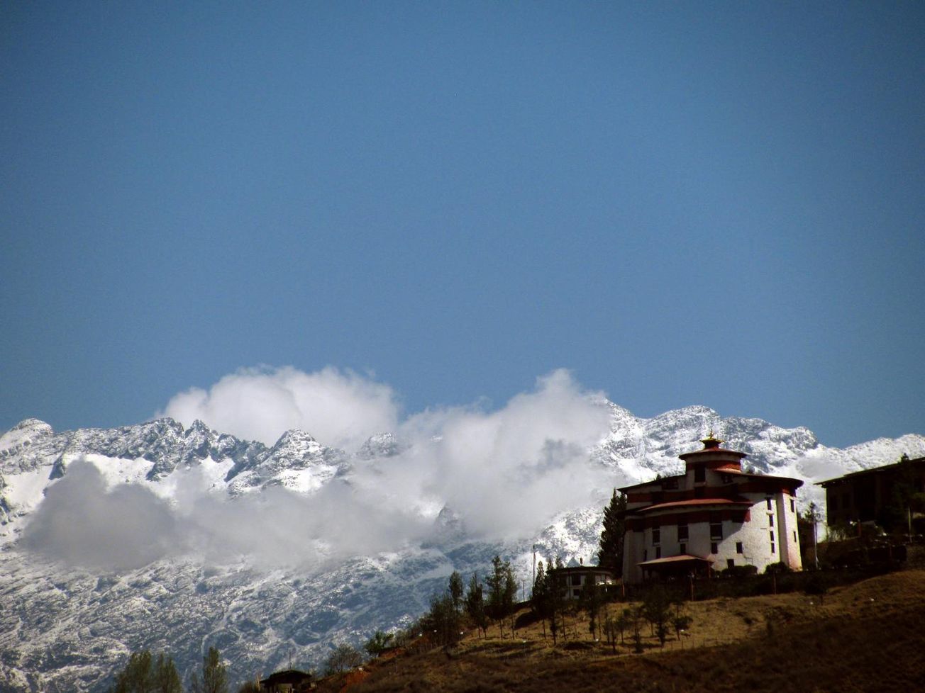
The researchers chose the central and eastern Himalaya of Bhutan and Nepal; one of the most geographically sampled landscapes in the world, boasting large variations in climate but uniform rock erodibility.
The team used a technique based on cosmic ray measurements to study erosion. Describing these measurements, Dr Adams explains: ‘When a cosmic particle from outer space reaches Earth, it is likely to hit sand grains on hillslopes as they are transported toward rivers. When this happens, some atoms within each grain of sand can transform into a rare element.
‘By counting how many atoms of this element are present in a bag of sand, we can calculate how long the sand has been there, and therefore how quickly the landscape has been eroding.’
After compiling topology and rainfall data from across the region, the team found a ‘climate control’ model which performed well in regions of extreme low or high rainfall where the effects of erosion can be the most dramatic and dangerous, potentially triggering landslides due to sediment build up behind dams.
Drones venture out into the smoky, volcanic unknown
A home fit for Mars…to be built in Bristol
Dr Adams described the model as ‘an exciting breakthrough’, as it ‘strongly supports the notion that atmospheric and solid earth processes are intimately connected.’
He also posited that the model could be used to predict volcanic activity: ‘This new frontier of landscape evolution modelling is shedding new light on volcanic processes.
‘With our cutting-edge techniques to measure erosion rates and rock properties, we will be able to better understand how rivers and volcanoes have influenced each other in the past. This will help us to more accurately anticipate what is likely to happen after future volcanic eruptions and how to manage the consequences for communities living nearby.’
Featured Image: University of Bristol / Dr Byron Adams
Do these new models of shifting mountains surprise you?


